Wildfire Intelligence
See Wildfires Coming
Before They Ignite
Global Coverage
Know What's at Risk Before the First Spark
- Pre-ignition risk alerts
- Sub-15-minute detection
- Thermal, hyper-spectral
- AI running on board the satellites
- Proprietary detection
- 24/7 global monitoring
- Preemptive mitigation windows
- Dryness + weather AI Assessment
The HORIS Constellation: Earth's Fire Alarm
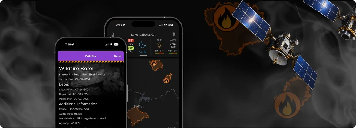
150 satellites with true global coverage, running AI at the edge on board each spacecraft. Engineering prototypes are already in orbit — commercial satellites begin launching in 2027.
Each HORIS satellite carries thermal, hyper spectral, and visible sensors working together to see what the eye can't: vegetation dryness, heat stress, and the conditions that turn a landscape into fuel. That means risk-prone areas show up on the map before a fire ever starts.
Wildfire alerting is live today using existing satellite data — including sub-15-minute fire detection anywhere on the globe. Current coverage can be sparser in some regions and less timely than we'd like, which is exactly the gap HORIS closes. Get in early and help shape what the constellation delivers.
Interested?
Explore our other solutions or contact us below to learn what we can do to deliver wildfire intelligence to your organization.